Mullaitivu
Mullaitivu (Tamil: முல்லைத்தீவு, Singhalesisch: මුලතිව්) ist die Hauptstadt des Distrikts Mullaitivu und liegt an der Nordostküste der Nordprovinz in Sri Lanka . Die Stadt, eine größtenteils von Fischern bewohnte Siedlung, entwickelte sich zu Beginn des 20. Jahrhunderts zu einem Ankerhafen für kleine Segelschiffe, die Waren zwischen Colombo und Jaffna transportierten. Die Stadt verfügt über ein Bezirkssekretärsbüro sowie viele andere staatliche Institutionen und Schulen in der Umgebung.
Während der Kandyan-Kriege wurde das britische Regierungsgebäude in Mullaitivu von Truppen von Pandara Vanniyan und Dissava aus Nuwara Kalawiya angegriffen und belagerte die Festung. Kapitän Drieberg floh mit seiner Malaientruppe in Booten aus der Festung und erreichte Jaffna. Während des Bürgerkriegs in Sri Lanka wurde Mullaitivu zu einem isolierten Stützpunkt der srilankischen Streitkräfte. In einer offenen Schlacht gelang es der LTTE 1996, den Stützpunkt zu erobern. Daraufhin zogen sich die srilankischen Streitkräfte aus Mullaitivu zurück, wodurch die LTTE die Kontrolle über das Gebiet erlangen konnte. Es wurde durch den Tsunami im Indischen Ozean 2004 beschädigt und forderte zahlreiche Todesopfer. Die srilankische Armee übernahm am 25. Januar 2009 in der Schlacht von Mullaitivu im Rahmen ihrer Offensive gegen die LTTE die Kontrolle über die Stadt. Das Hauptquartier der Sicherheitskräfte – Mullaitivu – wurde am 5. Juni 2009 in der Stadt gegründet.
Über den Mullaitive District
Der Distrikt Mullaitivu ist einer der 25 Distrikte Sri Lankas und bildet die zweitgrößte Verwaltungseinheit des Landes. Der Distrikt wird von einem Distriktsekretariat verwaltet, das von einem Distriktsekretär (früher als Regierungsvertreter bekannt) geleitet wird, der von der Zentralregierung Sri Lankas ernannt wird. Die Hauptstadt des Bezirks ist die Stadt Mullaitivu.
Teile des heutigen Bezirks Mullaitivu waren Teil des vorkolonialen Königreichs Jaffna . Der Bezirk geriet dann unter portugiesische, niederländische und britische Kontrolle. 1815 erlangten die Briten die Kontrolle über die gesamte Insel Ceylon . Sie teilten die Insel in drei ethnische Verwaltungsstrukturen auf: Tiefland -Singhalesen , Kandyan-Singhalesen und Tamilen. Der Bezirk, der damals zum Bezirk Vanni gehörte, war Teil der tamilischen Verwaltung. Im Jahr 1833 wurden gemäß den Empfehlungen der Colebrooke-Cameron-Kommission die ethnischen Verwaltungsstrukturen in einer einzigen Verwaltung vereint, die in fünf geografische Provinzen unterteilt war. Der Distrikt Vanni bildete zusammen mit dem Distrikt Jaffna und dem Distrikt Mannar die neue Nordprovinz.
Über die Nordprovinz
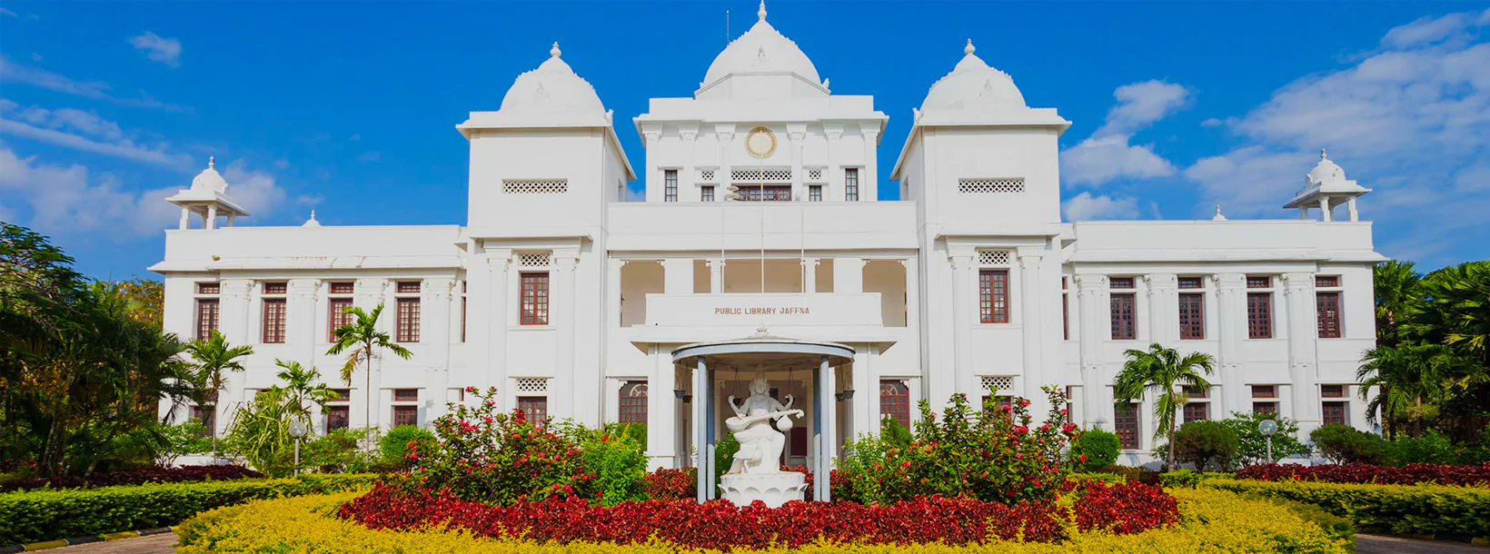
Die Nordprovinz liegt im Norden Sri Lankas, nur 35 km von Indien entfernt. Es hat eine Landfläche von 8.884 km². Die Provinz ist im Westen vom Golf von Mannar und der Palk-Bucht, im Nordwesten von der Palk-Straße, im Norden und Osten vom Golf von Bengalen und im Süden von den Provinzen Eastern, North Central und North Western umgeben. Die Nordprovinz Sri Lankas besteht aus fünf Verwaltungsbezirken: Jaffna, Kilinochchi , Mulaitivu , Vavuniya und Mannar . Jaffna ist die Provinzhauptstadt und der Verwaltungssitz des Bezirks Jaffna auf der gleichnamigen Halbinsel.
【Text von Lakpura™. Bilder von Google, Urheberrecht(e)
den Originalautoren vorbehalten.】