Peaks
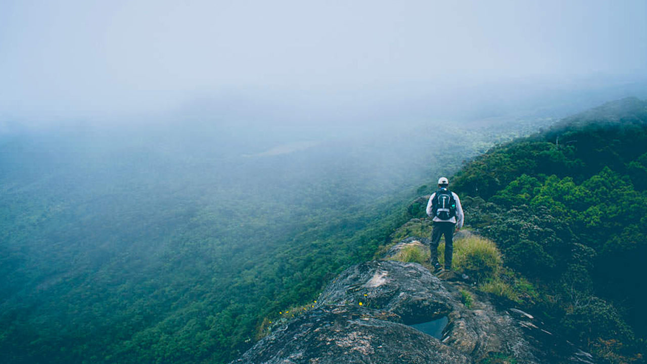
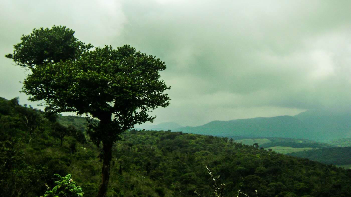
Sri Lanka boasts diverse mountains and peaks, each with its own allure. Ritigala is shrouded in mystique with lush forests and historic ruins, while Mihintale holds cultural significance as Buddhism's birthplace. Namunukula, a hidden gem, offers serene escapes with breathtaking landscapes and cool climates.
Kirigalpotta
Kirigalpoththa-Berg in Sri Lanka – der zweithöchste Berg der Insel. Der Kirigalpoththa-Berg in Sri Lanka ragt bis zu 2388 m (7835 Fuß) über dem mittleren Meeresspiegel empor und wirft seinen Schatten über die Hauptstadt – Felsen und Poththa-Baumrinde), möglicherweise weil es auf dem Berg viele hohe Bäume mit fleckiger weißer Rinde gibt. Erreichbar über einen Naturpfad im Horton-Plains-Nationalpark ; Dieser Berg ist der zweithöchste Berg im Inselparadies Sri Lanka und der höchste Berg der Insel, dessen Gipfel für die breite Öffentlichkeit zugänglich sind.
Kirigalpoththa-Berg in Sri Lanka: Einige Dinge, die Sie wissen sollten
- Standort: Bezirk Nuwara Eliya
- Nächstes Dorf: Pattipola
- Nächste Stadt: Nanuoya
- Der Wanderweg zum Aufstieg auf Kirigalpoththa befindet sich im Horton-Plains-Nationalpark
- Ausgangspunkt: Besucherzentrum Horton Plains
- Ende des Weges: Kirigalpoththa-Gipfel
- Länge des Weges: 5,6 km
- Höhenunterschied: 252 m (Höhe am Trail-Kopf: 2139 m – Höhe am Trail-Ende: 2392 m)
- Schwierigkeitsgrad des Aufstiegs: Mittel
- Aufstiegszeit: 3 – 4 Stunden
- Wetterbedingungen: In der Gegend von Nuwara Eliya ist es im Allgemeinen kalt und regnerisch. In den Monsunmonaten ist dies jedoch noch stärker der Fall. Die trockensten Monate im Vergleich sind Februar bis April und Juli bis September . Starker Wind und kaltes Wetter sind weiter oben auf dem Weg fast garantiert.
- Genehmigung erforderlich: Ja. Kann am Eingang des Hortons-Plains-Nationalparks erworben werden
- Was Sie beim Aufstieg mitnehmen sollten: Wasserflasche, leichter Pullover, Regenmantel, Insektenspray und Salz gegen Blutegel, Erste-Hilfe-Ausrüstung wie Pflaster, Desinfektionsmittel und Bandagen. (Ein starkes Kletterseil kann ebenfalls von Vorteil sein)
- Zu tragende Kleidung: Dicke Kleidung, die Ihre Haut vor Dornen und dergleichen schützt, sowie hohe, rutschfeste Stiefel, um ein Ausrutschen im Schlamm zu vermeiden.
- Weitere Tipps: Verlassen Sie den festgelegten Weg nicht, da die Ebene sumpfig ist. Versuchen Sie es nicht als Alleinkletterer.
-
 Kirigalpotta
Reaching upto 2388m (7835 feet) above mean sea level, Kirigalpoththa Mountain in Sri Lanka looms in the district of Nuwara Eliya casting its shadow over the main city. This mountain is the second tallest of the island paradise Sri Lanka, and the tallest of the mountains in the island.
-
 Thotupola Kanda
Totapolakanda is the third highest mountain in Sri Lanka situated in Nuwara Eliya district 2,357 m above mean sea level. The mountain is located within the Horton Plains National Park. A trail to the top of the mountain, about two kilometres long, starts a few metres away from the Pattipola entrance to the Horton Plains National Park.
-
 Adam’s Peak (Sri Pada Mountain)
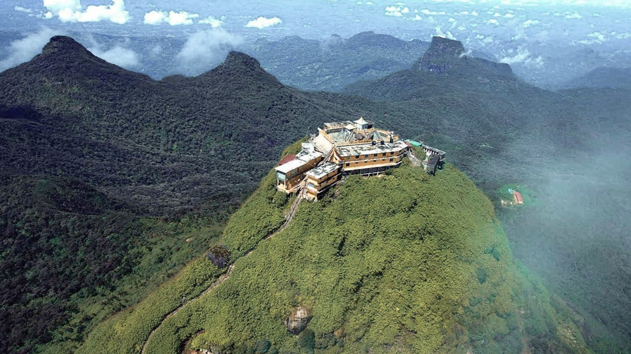
The most famous physical feature of Ceylon is Adam’s Peak, which is situated in the Ratnapura district. It is on the edge of the central massif but its surrounding group of mountains called the Wilderness of the Peak . It is about 7500 ft high and, though it is the second-highest peak in the land.
-
 Hakgala Peak
Hakgala Peak is located in the central highlands of Sri Lanka, within theHakgala Strict Nature Reserve. It is situated near the town ofNuwara Eliyaand is part of theCentral Highlandsregion, which is known for its stunning landscapes and cooler climate.
-
 Gommolliya
Gommolliya Peak is part of theKnuckles Mountain Rangein central Sri Lanka, a UNESCO World Heritage Site known for its biodiversity and scenic beauty. The peak is located in theKandy District, which is in the central highlands of Sri Lanka.
-
 Bambarakanda Peak
Bambarakanda Peak is located in theBadulla Districtof Sri Lanka, within theUva Province. It is part of the central highlands and is situated near the famousBambarakanda Falls, the tallest waterfall in Sri Lanka. The area is renowned for its lush greenery, cool climate, and stunning natural beauty.
-
 Riverston Peak
The Riverston Peak in Sri Lanka can be reached by travelling, about 30km away from the Matale town, down the Matale– Girandurukotte Road. This secretive windy road, with its sharp hairpin turns, offers some of the best views to the surrounding countryside; to the extent that it is called the Mini World’s End.
【Text by Lakpura™. Images by Google, copyright(s) reserved by original authors.】


