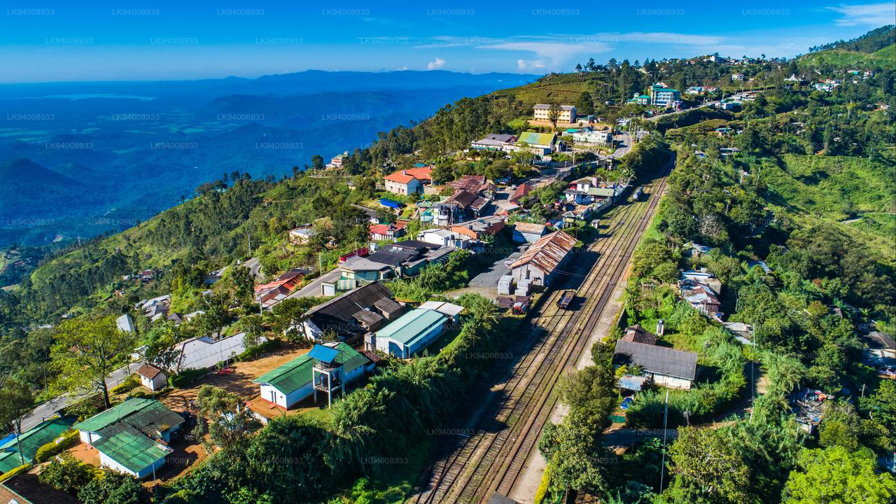
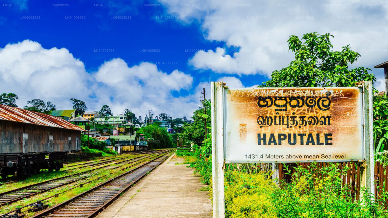
Haputale
Lage : Haputale liegt 179 km von Colombo entfernt im zentralen Hochland Sri Lankas.
So erreichen Sie Haputale: Haputale kann über die Hauptautostraßen von Colombo aus sowie über die Highland-Eisenbahnlinie erreicht werden, die in Colombo beginnt.
Haputale: ein regionaler Verkehrsknotenpunkt : Der Bahnhof und das Busdepot von Haputale liegen direkt im Stadtzentrum und bieten bequeme Transportmöglichkeiten, um Badulla, Bandarawela und Ella im zentralen Hochland zu besuchen. Belihuloya und Ratnapura im Osten; Wellawaya und Tissamaharama im Süden.
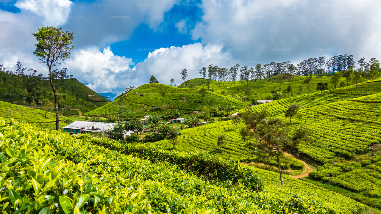
Stadt Haputale : Haputale ist eine sehr angenehme kleine Stadt mit gesundem Klima, die am südlichen Rand des zentralen Hochlandes von Sri Lanka liegt. Die Hochlandbahnlinie Colombo- Badulla verläuft entlang einer Seite des Bergrückens. Im Norden liegen die Berggipfel Ohiya und Idalgashinna; im Süden liegen die Great Plains der südlichen Provinz.
Haputale-Pass : Der Haputale-Pass bietet herrliche Ausblicke über die südlichen Ebenen Sri Lankas.
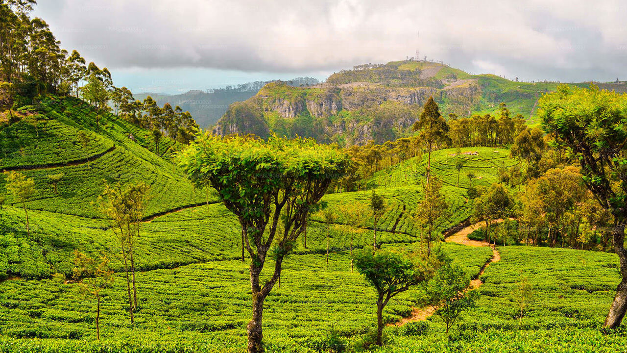
Ausflüge von Haputale aus : Haputale ist ein guter Ausgangspunkt für die Erkundung der Umgebung: Hügel und Täler; Teeplantagen und Fabriken; Horton-Plains-Nationalpark. „Lipton's Seat“, ein Aussichtspunkt in den Hügeln, die Teefabrik in Dambatenne und der Adisham-Bungalow im Tudor-Stil, der nach dem Vorbild von Leeds Castle in Kent erbaut wurde, sind die Highlights in Haputale.
Über den Bezirk Badulla
Badulla ist die Hauptstadt der Provinz Uva in Sri Lanka. Badulla liegt südöstlich von Kandy , fast umschlossen vom Fluss Badulu Oya, etwa 680 Meter (2200 ft) über dem Meeresspiegel und ist von Teeplantagen umgeben. Die Stadt wird von der Namunukula -Bergkette überschattet. Badulla liegt etwa 230 km von Colombo entfernt an den Osthängen der zentralen Hügel Sri Lankas.
Badulla und Umgebung sind für Ökotouristen sehr zu empfehlen, da der Horton Plains National Park und die Knuckles Mountains nur wenige Stunden entfernt sind.
Besondere Orte in Badulla: Muthiyangana-Tempel , Dhowa-Tempel , alte Holzbrücke von Bogoda , Rawana-Wasserfälle
Über die Provinz Uva
Die Provinz Uva ist mit 1.187.335 Einwohnern die am zweitdünnsten besiedelte Provinz Sri Lankas und wurde 1896 gegründet. Sie besteht aus zwei Bezirken namens Badulla und Moneragala. Die Provinzhauptstadt ist Badulla. Uva grenzt an die Provinzen Ost, Süd und Zentral. Die wichtigsten Touristenattraktionen sind die Dunhinda-Wasserfälle, die Diyaluma-Wasserfälle, die Rawana-Wasserfälle, der Yala-Nationalpark (teilweise in der Süd- und Ostprovinz gelegen) und der Gal-Oya-Nationalpark (teilweise in der Ostprovinz gelegen). Die Gal Oya-Hügel und das Zentralgebirge sind die wichtigsten Hochebenen, während die Flüsse Mahaweli und Menik sowie die riesigen Stauseen Senanayake Samudraya und Maduru Oya die wichtigsten Wasserstraßen in der Provinz Uva sind.