
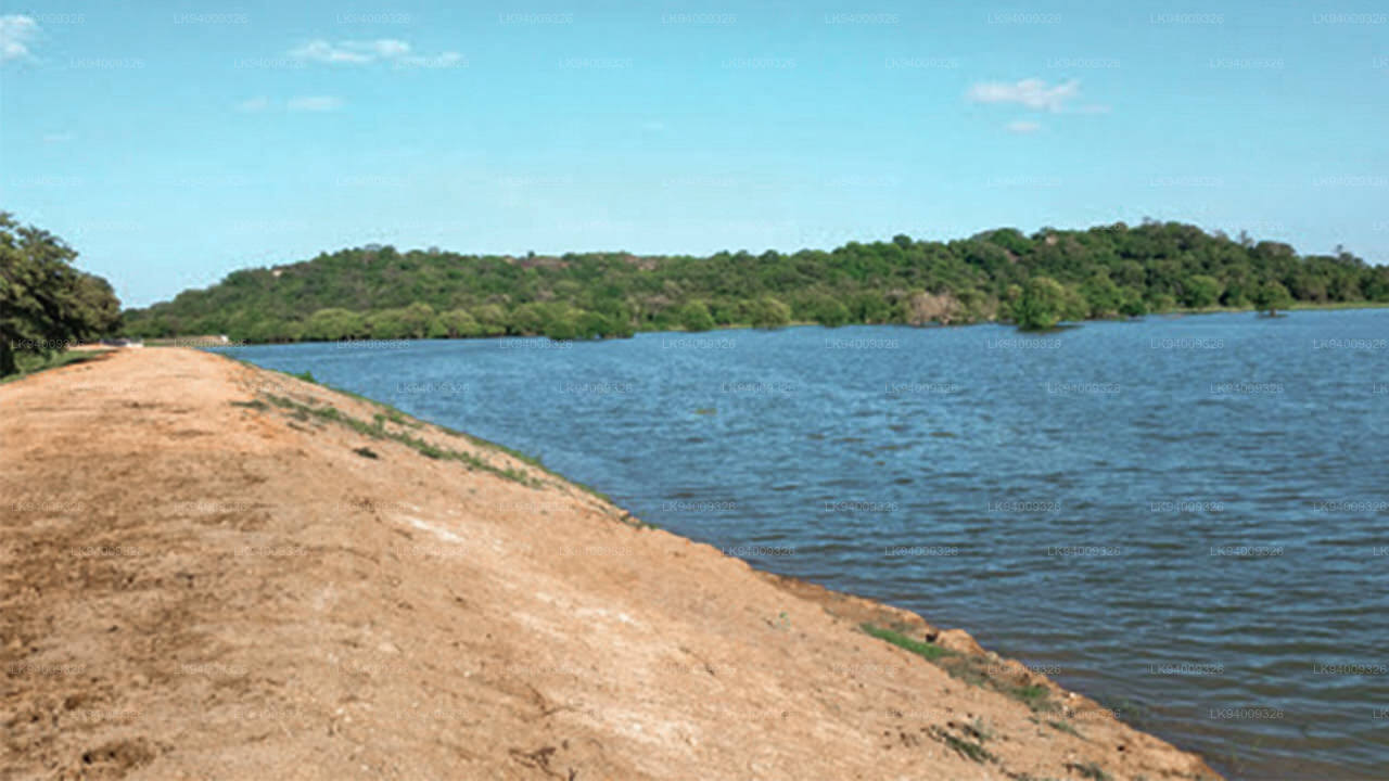
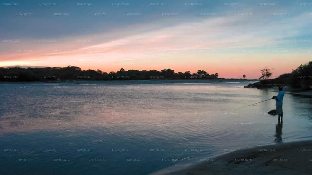
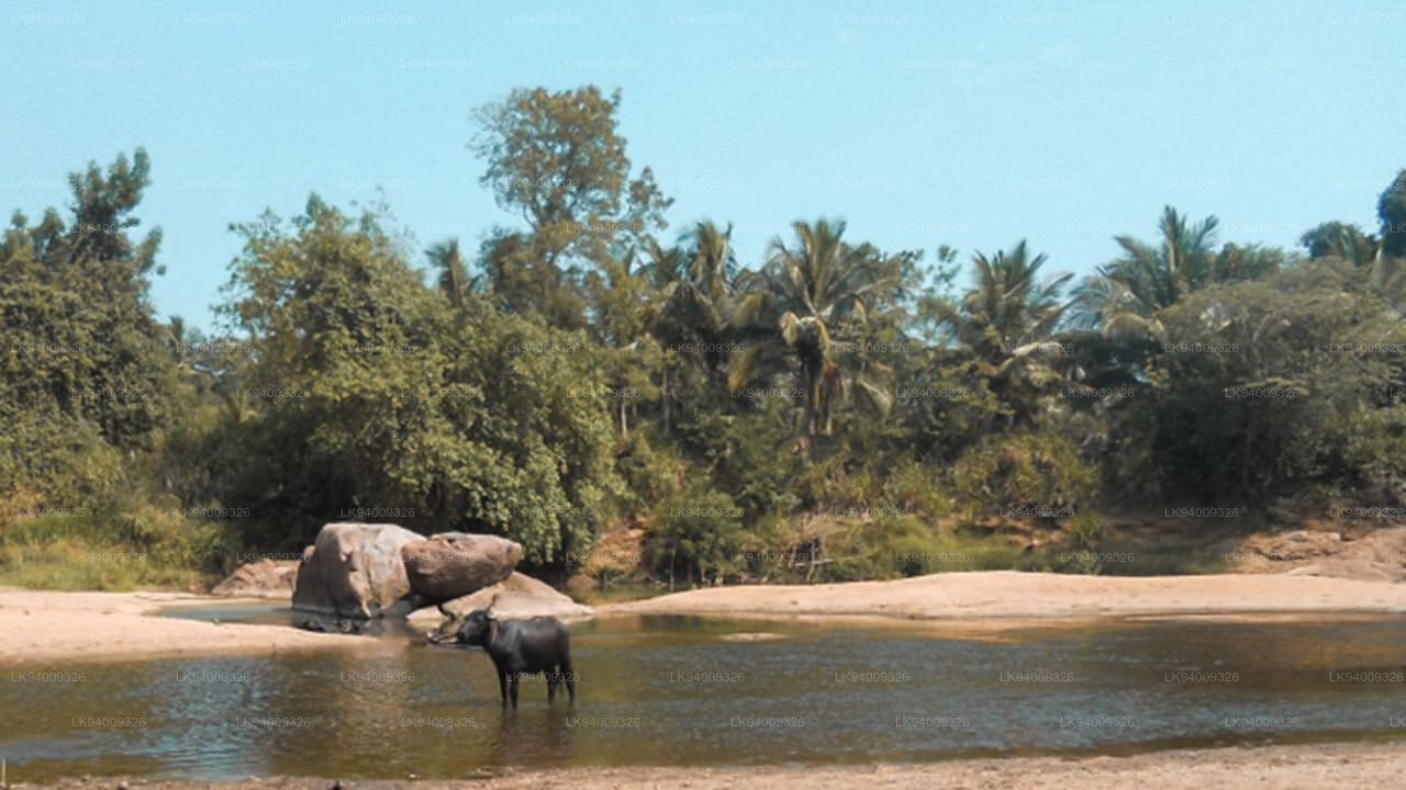
Yan Oya (යාන් ඔය)
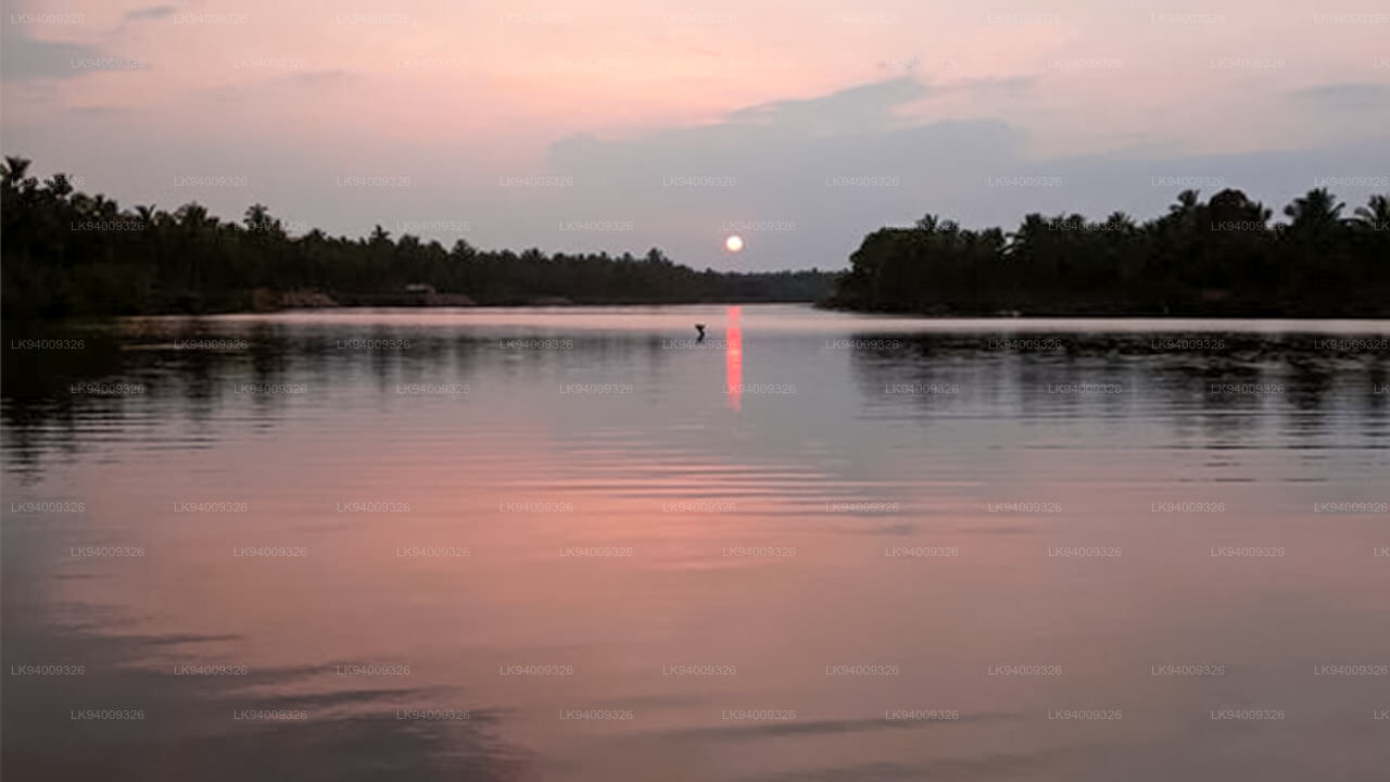
Der Yan Oya ist der fünftlängste Fluss Sri Lankas. Die Länge beträgt etwa 142 km. In sein Einzugsgebiet fallen jährlich etwa 2.371 Millionen Kubikmeter Regen, und etwa 17 Prozent des Wassers gelangen ins Meer. Das Einzugsgebiet beträgt 1.520 Quadratkilometer.
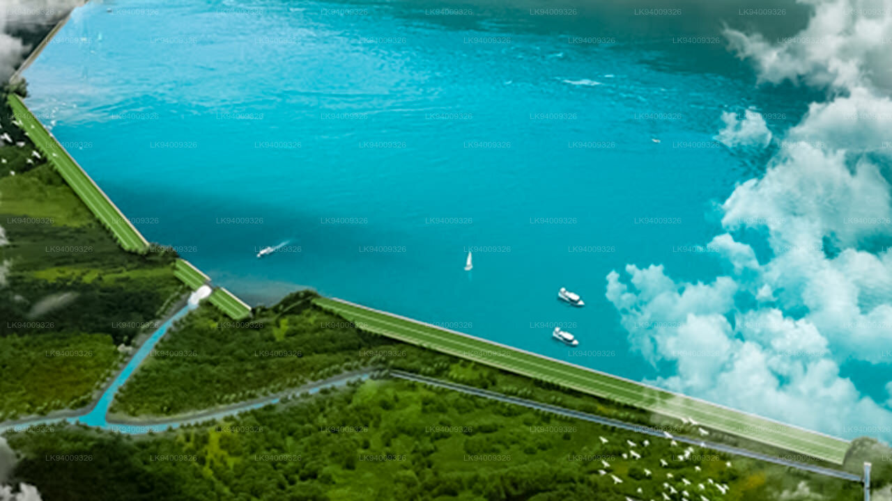
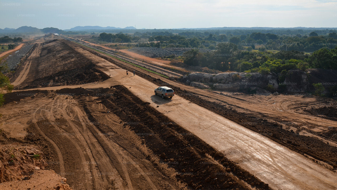
Yan Oya-Projekt
Nach Angaben des Ministeriums für Bewässerung und Wasserressourcenmanagement wurden die Arbeiten am Bewässerungsprojekt Yan Oya, dem größten Bewässerungsprojekt in der Nord-Zentralprovinz, beschleunigt. Der Yan Oya-Stausee wird in beiden Jahreszeiten Bewässerungsanlagen für die Landwirtschaft in den Distrikten Anuradhapura und Trincomalee bereitstellen, außerdem die Trinkwasserversorgung in der Region verbessern und die Stadt Trincomalee rund um die Uhr mit Trinkwasser und Bewässerungsanlagen versorgen. Der Stausee Yan Oya wird durch den Bau eines Staudamms über Yan Oya errichtet, der von Pulmoddai in der Ostprovinz bei Pangurugaswewa im Bezirk Trincomalee ins Meer fließt. Die Wasserkapazität des geplanten Yan-Oya-Reservoirs beträgt fast 140.000 Acres Fuß. Das Projekt kostet voraussichtlich Rs. 34 Milliarden sehen den Bau eines etwa 2,35 km langen Hauptdamms und 3,59 km langer Satteldämme sowie eines 34 km langen Kanalsystems am linken Ufer (LB) und am rechten Ufer (RB) vor, um fast 5.700 Hektar Land in den Distrikten Anuradhapura und Trincomalee zu bewässern. Dazu gehören 2200 Hektar bestehendes Land im Rahmen des Padaviya-Programms, auf dem es vor allem während der Yala-Saison zu einem erheblichen Wasserdefizit kommt. Dadurch werden auch 140 ha bestehende Flächen im Rahmen des Wahalkada-Programms und 100 ha neue Flächen entlang des LB-Kanals sowie bestehende Flächen im Rahmen von Yan Oya Anicut (750 ha) und kleinere Vorhaben im Meeoya-Becken (1735 ha) im Bezirk Trincomalee mit Wasser versorgt.
-
 Malwathu Oya (මල්වතු ඔය)
The Malvathu River long river in Sri Lanka, connecting the city of Anuradhapura, which was the capital of the country for over 15 centuries, to the coast of Mannar. It currently ranks as the second longest river in the country, with a great historic significance.
-
 Kelani River (කැලණි ගඟ)
The Kelani River is a 145-kilometre-long (90 mi) river in Sri Lanka. Ranking as the fourth-longest river in the country, it stretches from the Sri Pada Mountain Range to Colombo. It flows through or borders the Sri Lankan districts of Nuwara Eliya, Ratnapura, Kegalle, Gampaha and Colombo.
-
 Yan Oya (යාන් ඔය)
The Yan Oya is the fifth-longest river of Sri Lanka. It measures approximately 142 km (88 mi) in length. Its catchment area receives approximately 2,371 million cubic metres of rain per year, and approximately 17 percent of the water reaches the sea. It has a catchment area of 1,520 square kilometres.
-
 Walawe River (වලවේ ගඟ)
The southern region of Sri Lanka is exalted by a bushel of enthralling and glorified rivers and the Walawe River is one of them. Gently flowing through the Udawalawe National Park, the Walawe River provides water for a multitude of species of mesmerising fauna.
-
 Kalu Ganga (කළු ගඟ)
Kalu Ganga is a river in Sri Lanka. Measuring 129 km (80 mi) in length, the river originates from Sri Padhaya and reach the sea at Kalutara. The Black River flows through the Ratnapura and the Kalutara District and pass the city Ratnapura. The mountainous forests in the Central Province and the Sinharaja Forest Reserve are the main sources of water for the river.
-
 Maha Oya (මහ ඔය)
The Maha Oya is a major stream in the Sabaragamuwa Province of Sri Lanka. It measures approximately 134 km (83 mi) in length. It runs across four provinces and five districts. Maha Oya has 14 Water supply networks to serve the need of water and more than 1 million people live by the river.
-
 Gin Ganga (ගිං ගඟ)
The Gin Ganga, is a 115.9 km (72 mi) long river situated in Galle District of Sri Lanka. The river's headwaters are located in the Gongala Mountain range, near Deniyaya, bordering the Sinharaja Forest Reserve.
-
 Kala Oya (කලා ඔය)
It was around these ancient tank (water storage reservoir) irrigation systems that the economy and human settlements of early Sri Lankan society were organised into a “hydraulic civilization”.
-
 Deduru Oya (දැදුරු ඔය)
The Deduru Oya Dam is an embankment dam built across the Deduru River in Kurunegala District of Sri Lanka. Built in 2014, the primary purpose of the dam is to retain approximately a billion cubic metres of water for irrigation purposes, which would otherwise flow out to sea.
-
 Maduru Oya (මාදුරු ඔය)
The Maduru Oya is a major stream in the North Central Province of Sri Lanka. It is approximately 135 km (84 mi) in length. Its catchment area receives approximately 3,060 million cubic metres of rain per year, and approximately 26 percent of the water reaches the sea.
-
 Kumbukkan Oya (කුඹුක්කන් ඔය)
The Kumbukkan Oya is the twelfth-longest river of Sri Lanka. It is approximately 116 km (72 mi) long. It runs across two provinces and two districts. Its catchment area receives approximately 2,115 million cubic metres of rain per year, and approximately 12 percent of the water reaches the sea.
-
 Mi Oya (මී ඔය)
The Mi oya is a 108 km (67 mi) long river, in North Western of Sri Lanka. It is the fifteenth-longest river in Sri Lanka. It begins in Saliyagama and flows northwest, emptying into the Indian Ocean thru Puttalam.


