
Provinces
The Democratic Socialist Republic of Sri Lanka (known as Ceylon until 1972) is located in the Indian Ocean between the Laccadive Sea in the west and the Bay of Bengal in the east, separated by the Palk Strait and the Gulf of Mannar from Tamil Nadu, an Indian state on the southern coast of the Indian subcontinent.
Nordwestprovinz
Die Nordwestprovinz besteht aus zwei Verwaltungsbezirken, nämlich. Kurunegala und Puttalam . Die Provinzhauptstadt ist Kurunegala mit 28.571 Einwohnern. Die Provinz ist bekannt für ihre Kokosnussplantagen. Weitere Hauptstädte dieser Provinz sind Chilaw (24.712) und Puttalam (45.661), beides kleine Fischerorte. Die Mehrheit der Bevölkerung in der Provinz sind Singhalesen . Es gibt auch eine beträchtliche Minderheit der srilankischen Mauren um Puttalam und srilankische Tamilen in Udappuwa und Munneswarama . Fischerei , Garnelenzucht und Gummiplantagen sind weitere wichtige Wirtschaftszweige der Region. Die Provinz hat eine Fläche von 7.888 km2 und eine Bevölkerung von 2.184.136. Das Klima ist tropisch mit einer ausgeprägten Trockenzeit und Durchschnittstemperaturen zwischen 20 °C im Januar und 25 °C im März. Der Süden der Provinz ist mit einem jährlichen Niederschlag von 2000 mm feuchter, aber der nördliche Teil der Provinz ist mit einem durchschnittlichen jährlichen Niederschlag von 1100 mm eine der trockensten Regionen Sri Lankas.
Die Provinz ist reich an zahlreichen archäologischen Stätten und war zwischen der Mitte des 12. und der Mitte des 14. Jahrhunderts Sitz von vier mittelalterlichen Königreichen Sri Lankas. Obwohl die srilankischen Könige aufgrund ausländischer Invasionen gezwungen waren, ihre Hauptstädte zu verlegen, bauten sie dennoch prächtige Zitadellen in Gebieten wie Panduwasnuwara , Dambadeniya , Yapahuwa und Kurunegala. Beeindruckende Überreste dieser Zitadellen, Paläste, buddhistischen Tempel und Klöster bieten den Besuchern atemberaubende Anblicke.
Die Provinz beherbergt auch andere alte buddhistische Felsentempel, deren Wurzeln größtenteils auf das 1. Jahrhundert v. Chr. zurückgehen und über Wand- und Deckenfresken, kolossale Buddha-Bilder, Steininschriften und Skulpturen aus dem frühen Mittelalter bis zum 18. Jahrhundert verfügen.
Mit der glitzernden blauen Brandung des Indischen Ozeans und malerischen tropischen Lagunen verfügt die Provinz über einen langen Abschnitt breiter, sonnenverwöhnter goldener Strände. Diese Strände erstrecken sich von Waikkal an seinem südlichen Ende bis zur Dutch Bay im Bezirk Puttalam .
Zu den besten Strandresorts der Provinz gehören Marawila , Talawila, Kalpitiya und Waikkal. Diese Strände verfügen oft über den Vorteil einer Lagune oder eines Flussufers und eignen sich hervorragend als Ausgangspunkt für einen längeren Strandurlaub. Einige der Strandresorts bieten auch die Besichtigung der Unterwasser-Korallenwunderwelt vor Kandakuliya und Karaitivu an. In den Küstengebieten gibt es viele Fischerdörfer .
Bezirke unter der Nordwestprovinz
-
 Western Province
The most densely populated province of Sri Lanka, the Western Province which is 3,593 km2 in extent is home to the country’s legislative capital Sri Jayewardenepura. It is also home to the country’s commercial hub, Colombo.
-
 Central Province
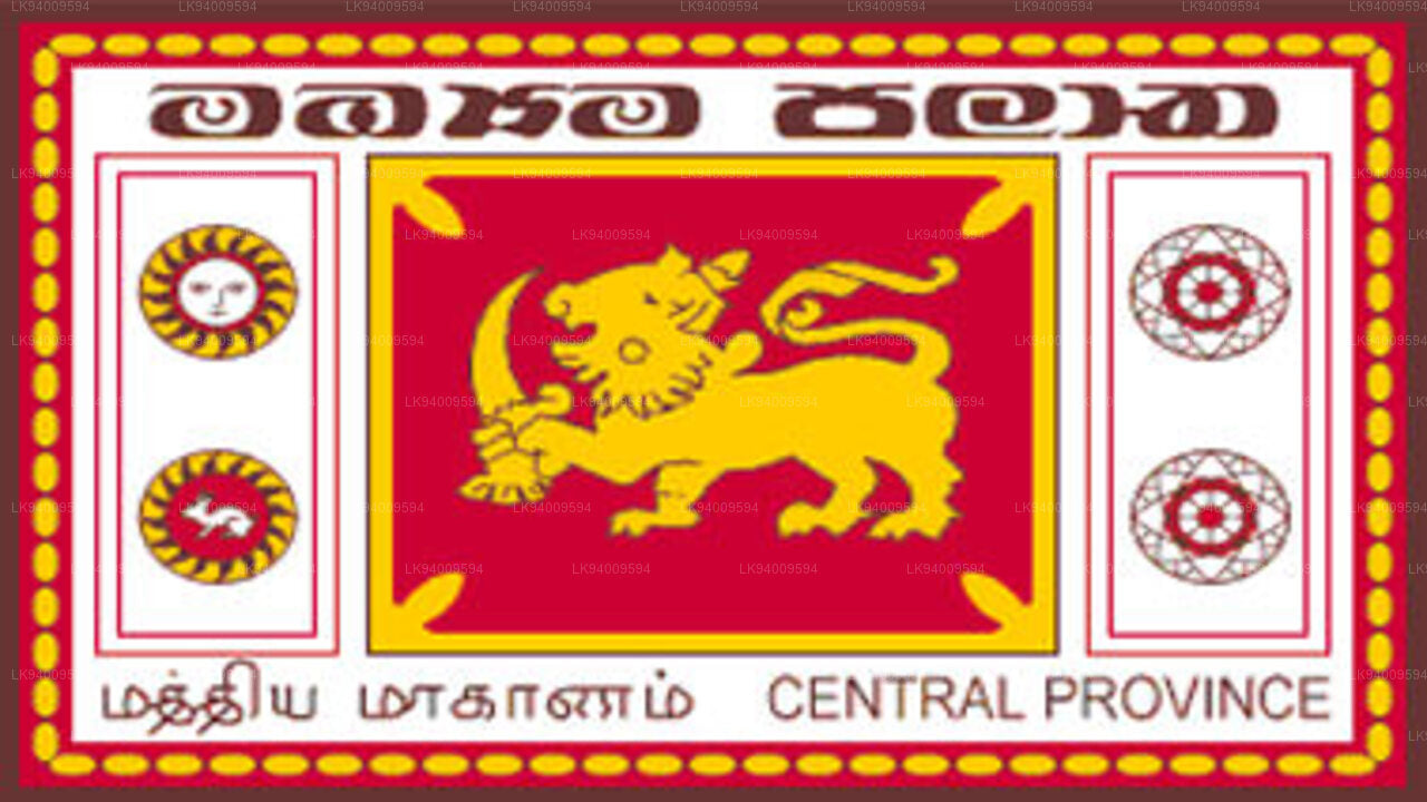
The Central Province is located in the central hills of Sri Lanka comprising of three administrative districts: Kandy, Matale and Nuwara-Eliya. The land area of the province is 5,575 km2 which is 8.6% of the total land area of Sri Lanka.
-
 Southern Province
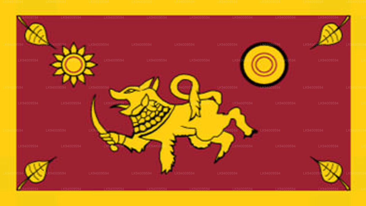
The Southern Province of Sri Lanka is a small geographic area consisting of three districts: Galle, Matara and Hambantota. Farming and fishing are the main sources of income for the vast majority of the people in this region.
-
 Uva Province
The Uva Province consists of two districts: Badulla and Moneragala while the capital of the province is Badulla. Uva is bordered by the Eastern, Southern and Central provinces.
-
 Sabaragamuwa Province
Sabaragamuwa is yet another province of Sri Lanka, located in the south-central region of the island and is comprised of two administrative districts: Ratnapura and Kegalle.
-
 North Western Province
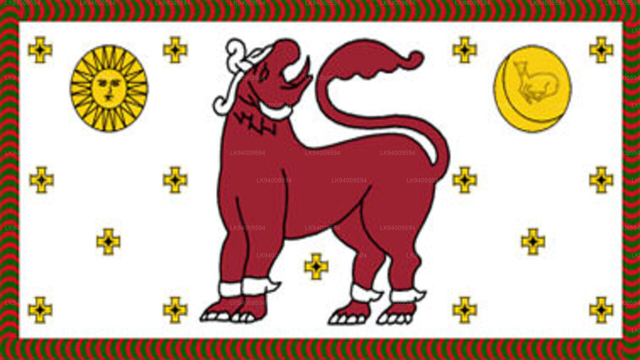
North Western Province is comprised of two administrative districts viz. Kurunegala and Puttalam. The provincial capital is Kurunegala that has a population of 28,571. The province is well known for its coconut plantations.
-
 North Central Province
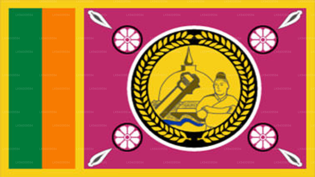
The largest province of Sri Lanka, located in the dry zone being 10,714 km2 in extent, the North Central Province that consists of two administrative districts viz. Anuradhapura and Polonnaruwa,
-
 Northern Province
The Northern Province is located in the north of Sri Lanka just 35 km from India. It has a land area of 8,884 km’. The province is surrounded by the Gulf of Mannar and Palk Bay to the west, Palk Strait to the north west, the Bay of Bengal to the north and east and the Eastern, North Central and North Western provinces to the south.
-
 Eastern Province
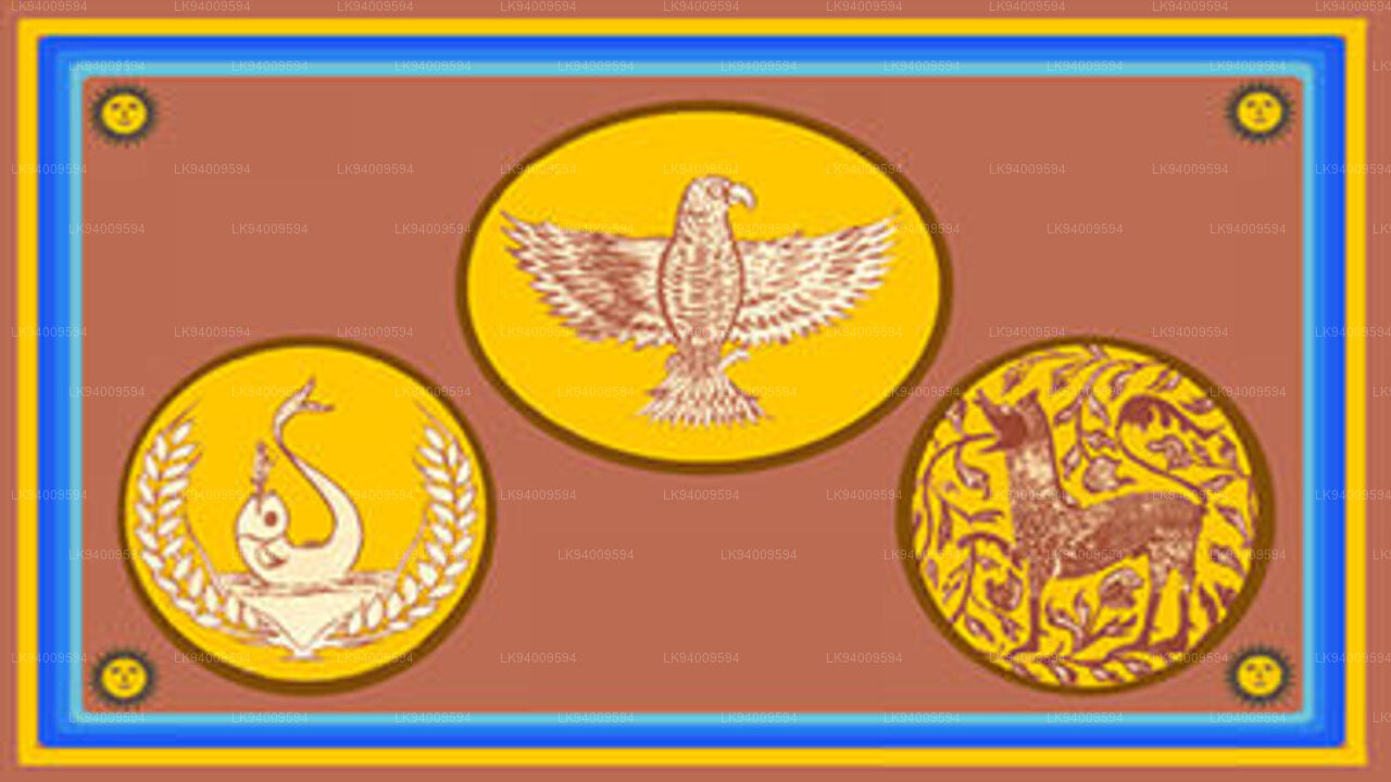
Another province of Sri Lanka mostly known for its golden beaches and the natural harbour, the Eastern Province which is 9,996 km2 in extent consists of three administrative districts namely Trincomalee, Batticaloa and Ampara.


