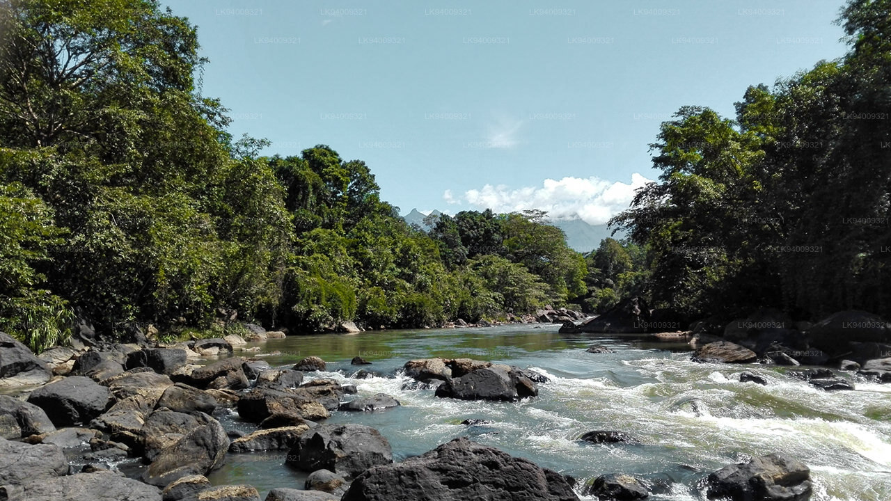
Rivers
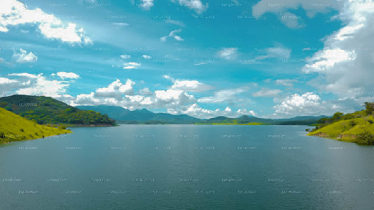
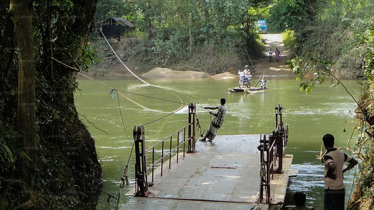
The rich network of rivers in Sri Lanka make the island an oasis at any time of year, naturally watering the paradise garden with its splendid heritage. The highest concentration of rivers and lakes is found in the south-west of the country, making it possibly the most fertile area in Sri Lanka.
Kalu Ganga (කළු ගඟ)
Kalu Ganga (Singhalesisch: කළු ගඟ; wörtlich: Schwarzer Fluss) ist ein Fluss in Sri Lanka. Mit einer Länge von 129 km (80 Meilen) entspringt der Fluss in Sri Padhaya und mündet bei Kalutara ins Meer. Der Black River fließt durch die Distrikte Ratnapura und Kalutara und passiert die Stadt Ratnapura. Die Bergwälder in der Zentralprovinz und das Sinharaja- Waldreservat sind die Hauptwasserquellen des Flusses.
Das Kalu-Ganga-Becken ist eines der wichtigsten Flusseinzugsgebiete Sri Lankas , das sehr hohe Niederschläge und höhere Abflüsse verzeichnet. Aufgrund seiner hydrologischen und topografischen Eigenschaften kommt es in der unteren Überschwemmungsebene häufig zu Überschwemmungen, was sich stark auf das sozioökonomische Profil auswirkt. In den letzten Jahren haben viele Forscher klimatische Veränderungen in den wichtigsten Flusseinzugsgebieten des Landes untersucht, es wurden jedoch keine Studien zu klimatischen Veränderungen im Kalu-Ganga-Becken durchgeführt. Ziel dieser Studie war es daher, Niederschlagstrends im Kalu-Ganga-Becken zu untersuchen. Jährliche und monatliche Niederschlagstrends wurden mit dem statistischen Mann-Kendall-Test ermittelt. An allen analysierten Niederschlagsmessstationen wurden negative Trends des Jahresniederschlags festgestellt. Im Durchschnitt wurde ein Trend von -0,98 mit einer jährlichen Niederschlagsreduzierung von 12,03 mm/Jahr festgestellt. Im April und August wurden starke Abwärtstrends beobachtet. Im Juli und November zeigten sich stark steigende Tendenzen. Zusammenfassend lässt sich sagen, dass im gesamten Kalu-Ganga-Becken ein Rückgang der jährlichen Niederschläge zu verzeichnen ist, und es ist klar, dass geringfügige klimatische Veränderungen die Stärke und den Zeitpunkt der Niederschläge im Untersuchungsgebiet beeinflusst haben könnten .
-
 Malwathu Oya (මල්වතු ඔය)
The Malvathu River long river in Sri Lanka, connecting the city of Anuradhapura, which was the capital of the country for over 15 centuries, to the coast of Mannar. It currently ranks as the second longest river in the country, with a great historic significance.
-
 Kelani River (කැලණි ගඟ)
The Kelani River is a 145-kilometre-long (90 mi) river in Sri Lanka. Ranking as the fourth-longest river in the country, it stretches from the Sri Pada Mountain Range to Colombo. It flows through or borders the Sri Lankan districts of Nuwara Eliya, Ratnapura, Kegalle, Gampaha and Colombo.
-
 Yan Oya (යාන් ඔය)
The Yan Oya is the fifth-longest river of Sri Lanka. It measures approximately 142 km (88 mi) in length. Its catchment area receives approximately 2,371 million cubic metres of rain per year, and approximately 17 percent of the water reaches the sea. It has a catchment area of 1,520 square kilometres.
-
 Walawe River (වලවේ ගඟ)
The southern region of Sri Lanka is exalted by a bushel of enthralling and glorified rivers and the Walawe River is one of them. Gently flowing through the Udawalawe National Park, the Walawe River provides water for a multitude of species of mesmerising fauna.
-
 Kalu Ganga (කළු ගඟ)
Kalu Ganga is a river in Sri Lanka. Measuring 129 km (80 mi) in length, the river originates from Sri Padhaya and reach the sea at Kalutara. The Black River flows through the Ratnapura and the Kalutara District and pass the city Ratnapura. The mountainous forests in the Central Province and the Sinharaja Forest Reserve are the main sources of water for the river.
-
 Maha Oya (මහ ඔය)
The Maha Oya is a major stream in the Sabaragamuwa Province of Sri Lanka. It measures approximately 134 km (83 mi) in length. It runs across four provinces and five districts. Maha Oya has 14 Water supply networks to serve the need of water and more than 1 million people live by the river.
-
 Gin Ganga (ගිං ගඟ)
The Gin Ganga, is a 115.9 km (72 mi) long river situated in Galle District of Sri Lanka. The river's headwaters are located in the Gongala Mountain range, near Deniyaya, bordering the Sinharaja Forest Reserve.
-
 Kala Oya (කලා ඔය)
It was around these ancient tank (water storage reservoir) irrigation systems that the economy and human settlements of early Sri Lankan society were organised into a “hydraulic civilization”.
-
 Deduru Oya (දැදුරු ඔය)
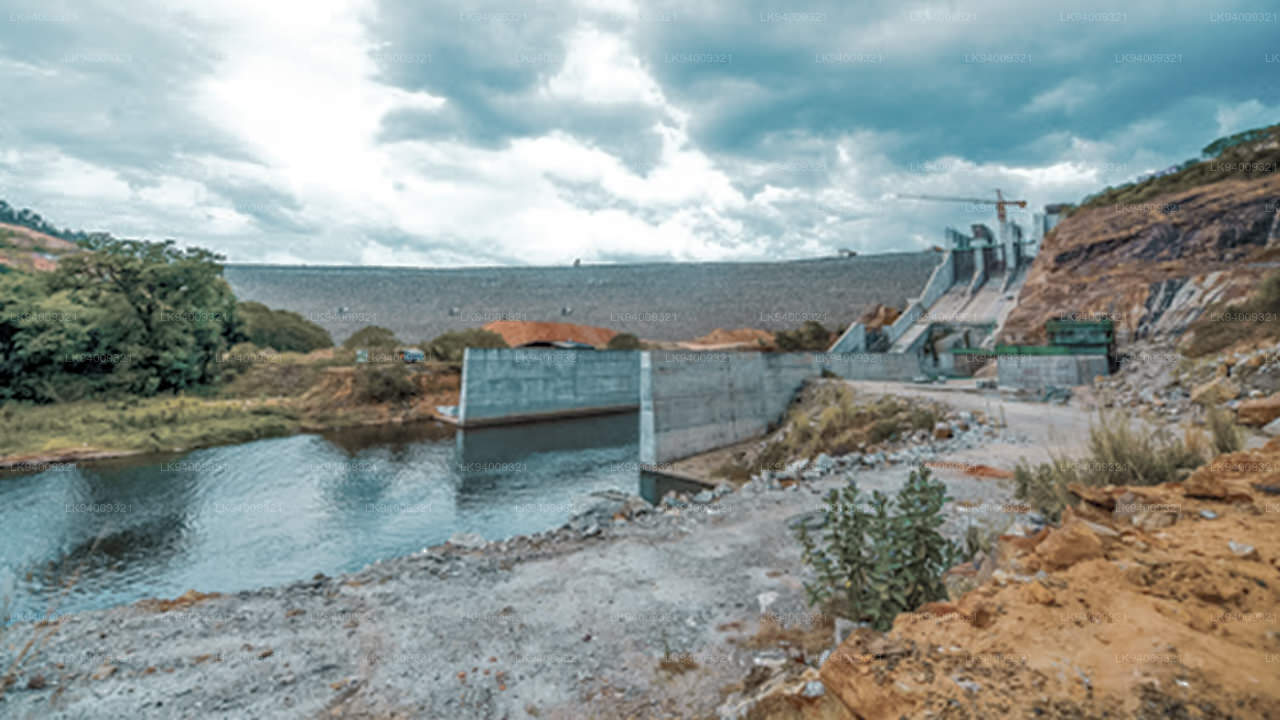
The Deduru Oya Dam is an embankment dam built across the Deduru River in Kurunegala District of Sri Lanka. Built in 2014, the primary purpose of the dam is to retain approximately a billion cubic metres of water for irrigation purposes, which would otherwise flow out to sea.
-
 Maduru Oya (මාදුරු ඔය)
The Maduru Oya is a major stream in the North Central Province of Sri Lanka. It is approximately 135 km (84 mi) in length. Its catchment area receives approximately 3,060 million cubic metres of rain per year, and approximately 26 percent of the water reaches the sea.
-
 Kumbukkan Oya (කුඹුක්කන් ඔය)
The Kumbukkan Oya is the twelfth-longest river of Sri Lanka. It is approximately 116 km (72 mi) long. It runs across two provinces and two districts. Its catchment area receives approximately 2,115 million cubic metres of rain per year, and approximately 12 percent of the water reaches the sea.
-
 Mi Oya (මී ඔය)
The Mi oya is a 108 km (67 mi) long river, in North Western of Sri Lanka. It is the fifteenth-longest river in Sri Lanka. It begins in Saliyagama and flows northwest, emptying into the Indian Ocean thru Puttalam.

