Dambulla City
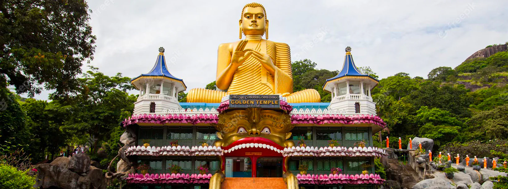
Journey into the heart of cultural splendor in Dambulla, where ancient history meets modern exploration. Uncover the marvels of the UNESCO-listed Dambulla Cave Temple, meander through vibrant markets, and savor the unique fusion of tradition and innovation in this enchanting Sri Lankan town.
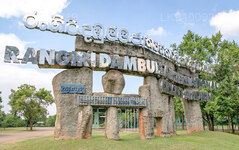
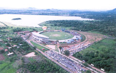
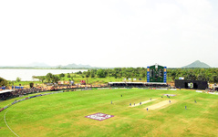
Rangiri Dambulla International Stadium Dambulla
Rangiri Dambulla Internationales Cricketstadion Dambulla
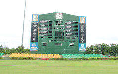
Das Rangiri Dambulla International Stadium ist ein bedeutender Cricketplatz. Das Gelände erstreckt sich über 60 Hektar Land, das vom Rangiri Dambulla-Tempel gepachtet wurde. Die Idee hinter dem Bau des Geländes bestand darin, das ganze Jahr über einen Austragungsort für eintägige Spiele zu schaffen. Der Bau dauerte nur 167 Tage und das Gelände wurde im Jahr 2000 offiziell eröffnet.
Geschichte
Der Bau wurde vom Board of Control for Cricket in Sri Lanka (BCCSL) finanziert und vom damaligen BCCSL-Präsidenten Thilanga Sumathipala gefördert. Der Bau dauerte nur 167 Tage. Nach dem Bau und dem Eröffnungsspiel stand es aufgrund von Komplikationen mit dem Mietvertrag und den Auftragnehmern still. Im Mai 2003 kehrte das internationale Cricket schließlich zurück, da aufgrund der Monsunregenfälle im Süden alle sieben Spiele des Turniers ausgetragen wurden.
- Das erste One Day International (ODI)-Spiel wurde im März 2001 zwischen Sri Lanka und England ausgetragen.
- Im Jahr 2003 wurden Flutlichter installiert.
- Dieses Stadion war Austragungsort aller Spiele des Asia Cup 2010, da für die Cricket-Weltmeisterschaft 2011 andere Spielfelder renoviert wurden.
- Von 2013 bis Ende 2016 fanden im Stadion nur Tagesspiele statt.
Standort
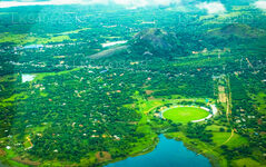
Das Rangiri Dambulla International Stadium liegt in der Nord-Zentralprovinz Sri Lankas, in der Nähe von Dambulla . Das Gelände liegt in der Trockenzone. Es überblickt den Dambulla-Tank (Stausee) und den Dambulla-Felsen. Es gehört zur Trockenzone des Landes.
Über den Pitch
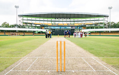
Die Bodenneigung gilt als die erste Wahl für Bowler, da sie Seeleuten morgens bei hohem Grundwasserspiegel und Spinnern am Nachmittag, wenn der Grundwasserspiegel bröckeln kann, beruhigenden Boden bietet.
About Matale District
Matale is a town in the hill country of Sri Lanka. The Knuckles Mountain Range is a special landmark of Matale.The Matale administrative district also contains the historic Sigiriya rock castle, Aluvihare Temple and Dambulla Cave Temple . Surrounding the town are the Knuckles foothills called Wiltshire. It is a mainly agricultural area, where tea, rubber, vegetable and spice cultivation dominate.
The Aluvihare Temple, on the North side of the town, is the historic location where the Pali Canon was first written down completely in text on ola (palm) leaves. Situated near Aluvihare are numerous monastery caves, some of which exhibit fine frescoes.
About Central Province
The Central Province of Sri Lanka consists primarily of mountainous terrain. The province has an area of 5,674 km², and a population of 2,421,148. Some major towns include Kandy, Gampola (24,730), Nuwara Eliya and Bandarawela. The population is a mixture of Sinhalese, Tamil and the Moors.
Both the hill capital Kandy and the city of Nuwara Eliya are located within the Central Province as well as Sri Pada. The province produces much of the famous Ceylon tea, planted by the British in the 1860s after a devastating disease killed all the coffee plantations in the province. Central Province attracts many tourists, with hill station towns such as Kandy, Gampola, Hatton and Nuwara Eliya. Temple tooth or Dalada maligawa is the main sacred place in Centrel province.
The climate is cool, and many areas about 1500 meters often have chilly nights. The western slopes are very wet, some places having almost 7000 mm of rain per year. The eastern slopes are parts of the mid-dry zone as it is receiving rain only from North-Eastern monsoon. The Temperatures range from 24°C at Kandy to just 16°C in Nuwara Eliya, which is located 1,889 m above sea level. The highest mountains in Sri Lanka are located in the Central Province. The terrain is mostly mountainous, with deep valleys cutting into it. The two main mountain regions are the central massif and the Knuckles range to the east of Kandy.

